Waikato River Authority
A shared vision for the future of our awa
Waikato River Authority

Funded projects

The Waikato River Authority GIS map is an interactive tool where you can explore project locations and learn more about the different types of work we’ve funded across the catchment. Click the image button below to open the full interactive project map. 

Previously approved projects

Explore our 2024 & 2025 WRA-approved projects across Education, Infrastructure, Iwi & Community, Research, and Restoration. 

See how we’ve supported meaningful outcomes and creating lasting impact across a diverse range of sectors for our awa. 

Restoring the Awa, one project at a time.

Project stories

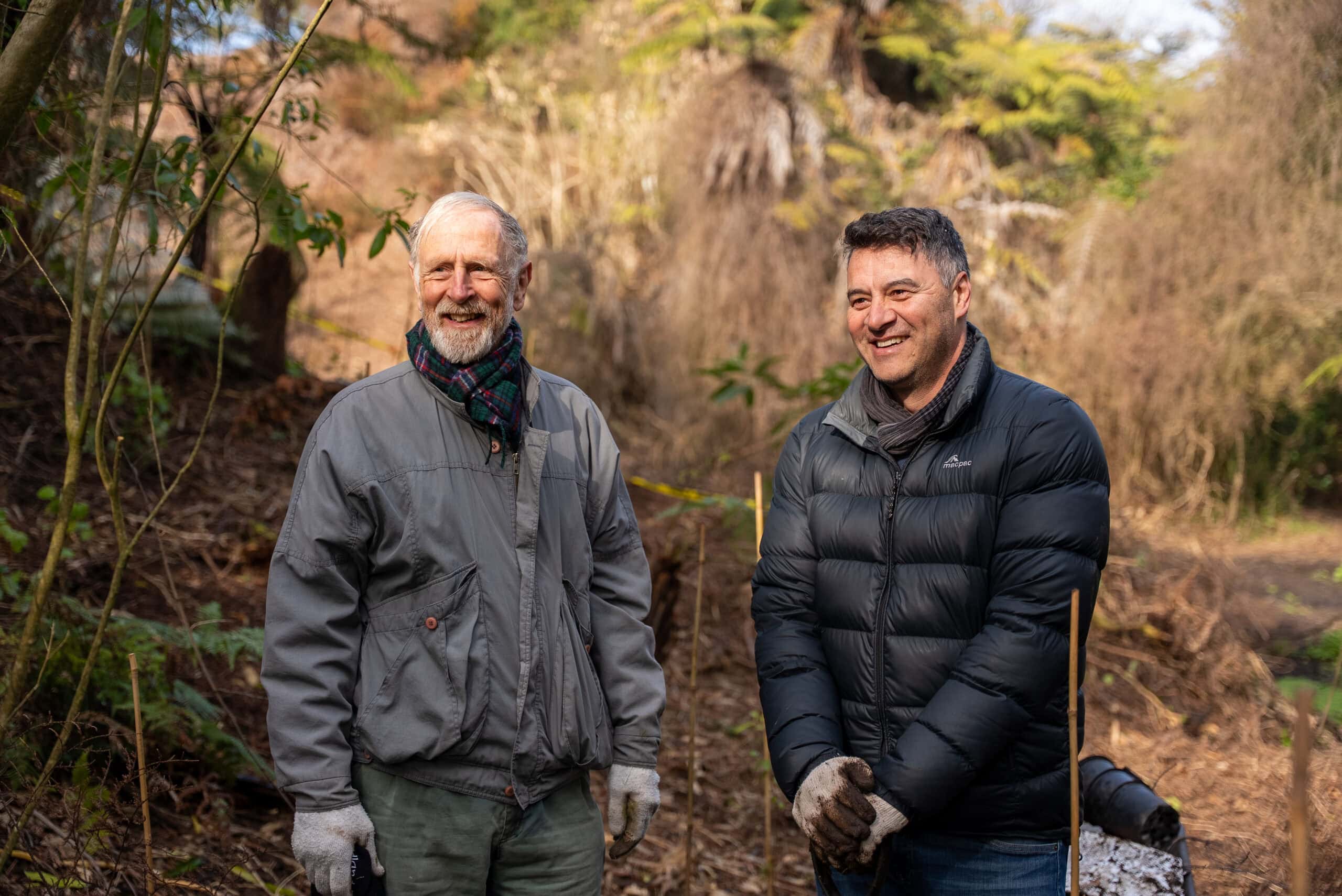
Every restoration project has a story to tell. Explore our latest featured stories to see how communities, iwi, organisations and partners are working together to protect and restore the health and wellbeing of the Waikato River.